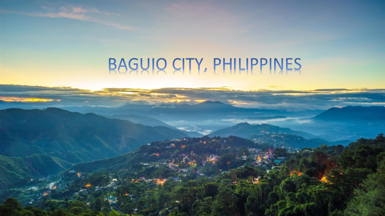
The term Baguio conjures up images of a highland getaway in Northern Luzon’s Grand Cordillera, complete with pine trees, crisp chilly breezes, and low grassy knolls and hillocks, which appeals to both international and domestic trThe term Baguio conjures up images of a highland refuge in Northern Luzon’s Grand Cordillera, with pine trees, cool winds, and low grassy knolls and hillocks. Baguio has evolved from a verdant wetland to one of the country’s cleanest, greenest, and most urbanized towns.
Facts about Baguio City
Baguio, as we all know, is the Summer Capital of the Philippines, and it is the perfect spot to relax due of the low temperatures. In case you didn’t know, here are some additional facts about Baguio:
- Because of the abundance of mossy plants in the city, the name Baguio is derived from the Ibaloi word “bagiw,” which literally translates as “moss.”
- Because of the American colonization, the older Baguio people speak English fluently. Arrival of Americans in early 1900s sparked development. To escape the searing lowland heat, American Governor Luke E. Wright hired renowned urban planner Architect Daniel H. Burnham to design a health resort. The Burnham Plan significantly transformed the old mountain community and created the City’s initial physical framework plan. It paved the path for fast physical development, which continues to this day.
- In its initial conception, the city of Baguio could accommodate 30,000 people. The population has increased to approximately 400,000 people today.
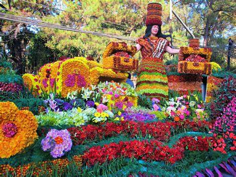
- After years of being referred to as the “Baguio Flower Festival,” Mr. Ike Picpican, an archivist and curator at the Saint Louis University Museum, suggests that the festival be renamed the Panagbenga Festival in 1997.
- The city has experienced its lowest temperatures last January 9, 1971 at 7.1 degrees and on January 18, 1961 at 6.3 degrees. It was only until this year, February 15 that it almost happened again as temperature dropped at 7.3 degrees.
- An air-conditioned common space is not available in SM City Baguio, a retail mall located at the foot of Luneta Hill in the city. Before it was destroyed by fire, the Pines Hotel stood on the site.
Geography
Baguio City, in the province of Benguet, is approximately 250 kilometers north of Manila and is the country’s northernmost city. The city has a total land area of 49 square kilometers and sorrounds by a perimeter of 30 kilometers. The plateau, which rises to an elevation of 1,400 meters above sea level, corresponds to the developed area of the city.
Moreover, it is mostly in the city’s north. The City is landlock within the province of Benguet, surrounded on all sides by its municipalities: La Trinidad, Itogon, Tuba, and Itogon. It extends 8.2 km east-west and 7.2 km north-south from City Hall. Its perimeter is 30.98 km. The City’s barangays organize into twenty administrative districts.
Climate
Baguio is 8 degrees cooler than the lowlands. When Manila sweats at 35°C or more, Baguio rarely reaches 26°C. The city is very wet from June to October, when the Philippines rains. It receives twice the amount of rainfall as Manila. It is a tropical haven from November to May, a welcome respite from the hot and humid Philippines. Baguio shines with the cold winter air during Christmas. Thousands of travelers from the lowlands and Manila flock to Baguio every year in March, April, and May to cool down. Late afternoon or nights require casual wear with a jacket or sweater.
Tourist Spot
The city of Baguio in the Philippines is a spectacular tourist attraction. Due to the fact that the Philippines is a tropical country, which simply means that the country has a warm or hot environment, this is one of the few spots in the Philippines where the weather is chilly, despite the fact that the Philippines is a tropical country.
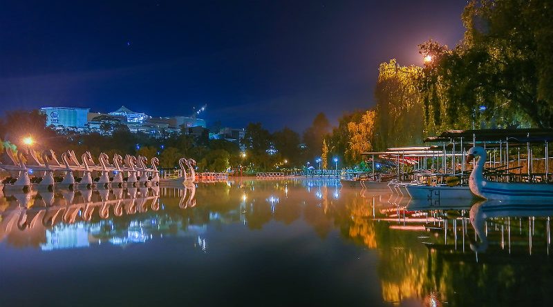
- Burnham Park
- Session Road
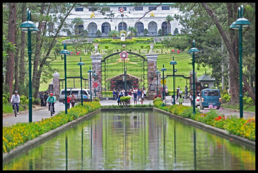
- The Mansion
- Camp John Hay
- Strawberry Farm
- Mines View Park
- Kennon Road
- Lion’s Head
- Botanical Garden
- Tam-Awan Village